
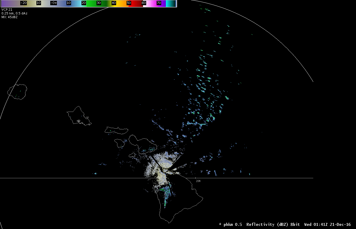
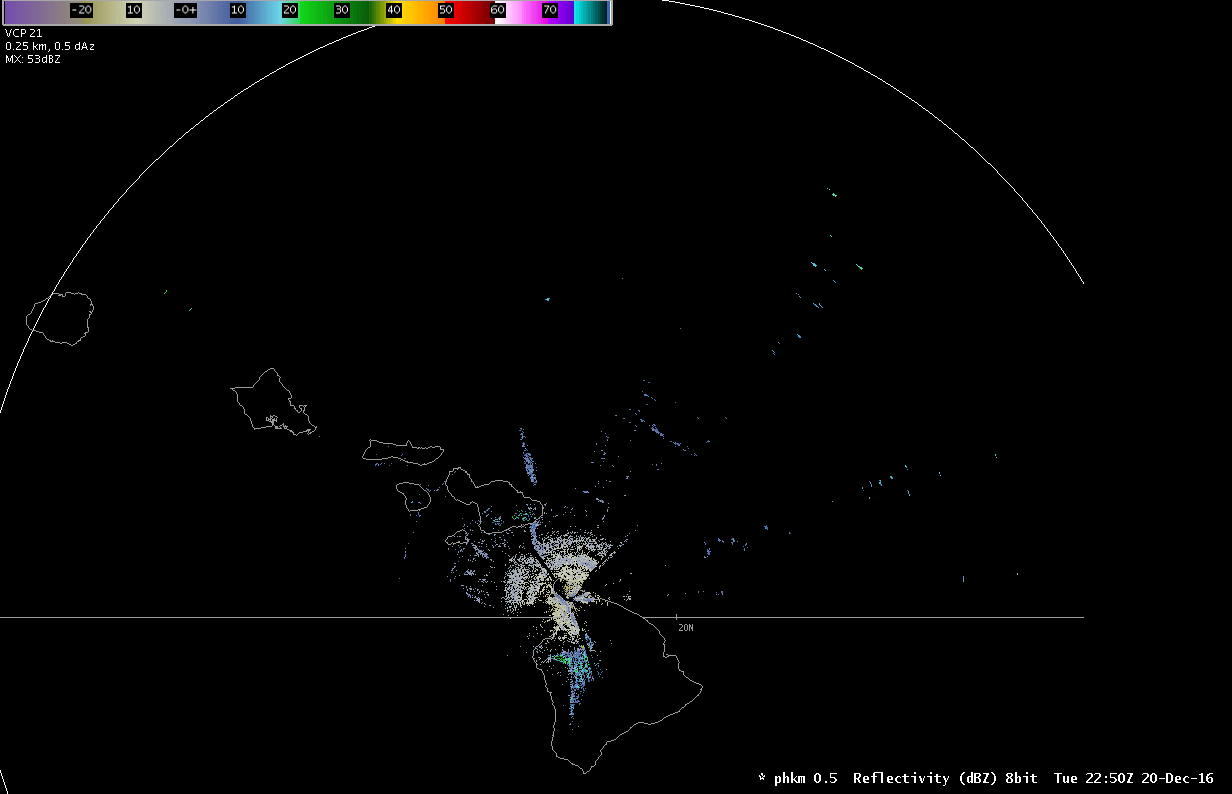
Reflectivity image from the Kohala radar showing trade wind showers much farther away than it should. (Animated radar loop)
Yesterday afternoon something strange showed up on the Kohala radar–a bunch of trade wind showers north of the Big Island. Showers were to be expected, as we were watching an area of open-cell cumulus clouds approach from the east. The strange part is that they extended to the extreme edge of the radar range, about 285 miles away. At that point, the radar beam could be sampling up to 50,000 feet, quite a bit higher than these showers. What gives? Since we weren’t looking at cumulonimbus clouds on satellite, we were looking at a nice example of radar beam ducting.